XINING, Feb. 23 (Xinhua) -- Precision service infrastructure for China's Beidou satellite navigation system will be built on the Qinghai-Tibet Plateau as part of efforts to create a nationwide base station network for high precision navigation and positioning by 2018.
The infrastructure will be built in Qinghai's Xining, the provincial capital, and Haidong City, said an official with the First Institute of Surveying and Mapping of Qinghai on Monday.
He did not give more details about the project in Qinghai.
The infrastructure is critical to practical navigation and includes base station networks, data processing, broadcasting systems and user terminals, which together will help provide more precision services.
Beidou is the Chinese equivalent of the U.S. NAVSTAR Global Positioning System and Russia's Global Navigation Satellite System. Currently, Beidou owns 20 satellites.
The system began to provide precision positioning, real-time navigation, location reporting, precise time reading and short message services for users in China and the Asia-Pacific in December 2012. The government aims to make it a global system by 2020.
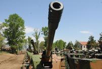 PLA soldiers operating vehicle-mounted guns in drill
 Beauties dancing on the rings
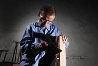 Blind carpenter in E China's Jiangxi
 Top 10 highest-paid sports teams in the world
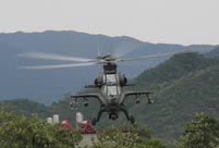 In photos: China's WZ-10 armed helicopters
 UFO spotted in several places in China
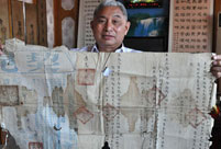 Certificates of land title of Qing Dynasty and Republic of China
  Cute young Taoist priest in Beijing
 New film brings Doraemon's life story to China in 3D
 Obama is sowing discontent in S.China Sea
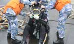 Rescuers work through night to reach cruise ship survivors
 Driving through limbo
 Facing down MERS
Day|Week