SHENYANG, May 14 (Xinhua) -- Wood blocks of a world map drawn by Italian missionary Matteo Ricci more than 400 years ago are on show in northeast China's Liaoning province.
The eight blocks, two meters tall and four meters wide when assembled, will be displayed in Liaoning provincial museum in Shenyang until July 24.
According to Ma Baojie, curator of the museum, the map was made by Matteo Ricci, but the blocks were carved by his friend Li Yingshi.
"Matteo Ricci drew at least five world maps during his stay in China, improving from the previous version each time," Ma said. The one on display, produced in 1603 during the Ming Dynasty (1368-1644), was his last and most detailed.
The map belonged to the military command headquarters in Liaoning. In 1621 when the Nurhaci, founder of the Qing Dynasty (1644-1911), took Liaoning, he seized the map.
"So they added Manchurian names later and colored the mountains," Ma said.
"Before the time of Matteo Ricci, maps drawn in China and the West were not complete," he added. "The spread of Matteo Ricci's map opened a new era of cultural exchanges between China and the West."
 French girl ties the knot with Chinese boy
 Beijing Style: ready for bare legs
 Century-old station sees railyway evolution
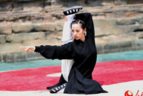 Enthusiasts perform Kung Fu at Wudang Mountain
 Stunning photos of China's fighter jets in drill
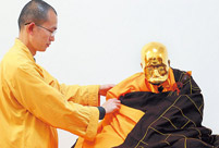 Monk's mummified body to be made into a gold Buddha statue
 Former Chinese solider of the French Foreign Legion seeks wife online
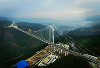 Asia's longest and highest suspension bridge to open to traffic
 China's first interactive robot looks like a beauty
 Top 20 hottest women in the world in 2014
 Top 10 hardest languages to learn
 10 Chinese female stars with most beautiful faces
 China’s Top 10 Unique Bridges, Highways and Roads
 Rousseff’s suspension won’t cure ailing Brazil
  Reforms, consumption set to boost growth
  As police crack down again on sex work, some say legalization is solution
 China recognizes ‘good netizens’ who spread ‘positive energy’
 Day|Week

